
-
Federal
NACP North American Forest Dynamics Project: Forest Disturbance and Regrowth Data 19 recent views
National Aeronautics and Space Administration —
This data set provides the results of time-series analyses of Landsat imagery for 55 selected forested sites across the conterminous U.S.A. The output is a pair of... -
Federal
MuSLI Multi-Source Land Surface Phenology Yearly North America 30 m V011
National Aeronautics and Space Administration —
The Multi-Source Land Surface Phenology (LSP) Yearly North America 30 meter (m) Version 1.1 product (MSLSP) provides a Land Surface Phenology product for North... -
Federal
LiDAR Surveys over Selected Forest Research Sites, Brazilian Amazon, 2008-2018
National Aeronautics and Space Administration —
This dataset provides the complete catalog of point cloud data collected during LiDAR surveys over selected forest research sites across the Amazon rainforest in... -
Federal
PnET Models: Carbon, Nitrogen, Water Dynamics in Forest Ecosystems (Vers. 4 and 5)
National Aeronautics and Space Administration —
PnET (Photosynthetic / EvapoTranspiration model) is a nested series of models of carbon, water, and nitrogen dynamics in forest ecosystems. The models can be used to... -
Federal
Vegetation Index and Phenology (VIP) Phenology NDVI Yearly Global 0.05Deg CMG V004 NGDA
National Aeronautics and Space Administration —
The NASA Making Earth System Data Records for Use in Research Environments (MEaSUREs) (https://earthdata.nasa.gov/community/community-data-system-programs/measures-... -
Federal
VIIRS NOAA-20 (JPSS-1) 375m, I-Band Active Fire Product NRT (Vector Data)
National Aeronautics and Space Administration —
Near real-time (NRT) NOAA-20 (formally JPSS-1) Visible Infrared Imaging Radiometer Suite (VIIRS) Active Fire detection product is based on the instrument's 375 m... -
Federal
NPP Tropical Forest: Chamela, Mexico, 1982-1995, R1
National Aeronautics and Space Administration —
This data set contains five data files (.txt format). Three data files provide net primary productivity (NPP) estimates for a tropical dry deciduous forest within the... -
Federal
Delta-X: AirSWOT L2 Geocoded Water Surface Elevation, MRD, Louisiana, 2021, Version 2
National Aeronautics and Space Administration —
This dataset contains Level 2 (L2) AirSWOT geocoded products, including estimated water surface elevation. The AirSWOT instrument is a Ka-band interferometer and for... -
Federal
ABoVE: Reflectance Spectra of Tundra Plant Communities across Northern Alaska
National Aeronautics and Space Administration —
This dataset reports full-spectrum (350-2500 nm) reflectance measurements of diverse plant communities at the plot-level and individual plant species at the leaf-... -
Federal
Arctic Vegetation Plots at Toolik Lake, Alaska, 1989
National Aeronautics and Space Administration —
This dataset provides environmental, soil, and vegetation data collected in August 1989 from 81 study plots at the Toolik Lake research site, located in the southern... -
Federal
NPP Tropical Forest: Maui, Hawaii, U.S.A., 1996-1997, R1
National Aeronautics and Space Administration —
This data set contains one data file (.csv format) that quantifies net primary productivity (NPP) as a function of rainfall in mesic to wet montane rainforests on the... -
Federal
VIIRS/JPSS1 Vegetation Indices 16-Day L3 Global 500m SIN Grid V002
National Aeronautics and Space Administration —
The NOAA-20 Visible Infrared Imaging Radiometer Suite (VIIRS) (https://lpdaac.usgs.gov/dataset_discovery/viirs) Vegetation Indices (VJ113A1) Version 2 data product... -
Federal
Global Distribution of Fine Root Biomass in Terrestrial Ecosystems
National Aeronautics and Space Administration —
A global data set of root biomass, rooting profiles, and concentrations nutrients in roots was compiled from the primary literature and used to study distributions of... -
Federal
Arctic Vegetation Plots, Prudhoe Bay ArcSEES Road Study, Lake Colleen, Alaska, 2014
National Aeronautics and Space Administration —
This dataset provides environmental, soil, and vegetation data collected from study plots in the vicinity of Lake Colleen off the Spine Road at Prudhoe Bay, Alaska,... -
Federal
Delta-X: AirSWOT Level 1B Interferogram Products in Radar Coordinates, 2021
National Aeronautics and Space Administration —
This dataset contains AirSWOT interferogram products collected during the 2021 Delta-X Campaign over the Atchafalaya and Terrebonne Basins of the Mississippi River... -
Federal
Remote Sensing Data Before and After California Rim and King Forest Fires, 2010-2015
National Aeronautics and Space Administration —
This data set provides high-resolution surface reflectance, thermal imagery, burn severity metrics, and LiDAR-derived structural measures of forested areas in the... -
Federal
CERES and GEO-Enhanced TOA, Within-Atmosphere and Surface Fluxes, Clouds and Aerosols Monthly-Averaged 1-Hourly Terra-NPP Edition1A NGDA
National Aeronautics and Space Administration —
CER_SYN1deg-MHour_Terra-NPP_Edition1A is the Clouds and the Earth's Radiant Energy System (CERES) and geostationary (GEO)-Enhanced Top-of-Atmosphere (TOA), Within-... -
Federal
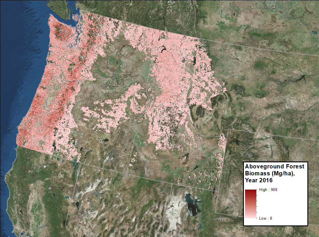
Annual Aboveground Biomass Maps for Forests in the Northwestern USA, 2000-2016
National Aeronautics and Space Administration —
This dataset provides annual maps of aboveground biomass (AGB, Mg/ha) for forests in Washington, Oregon, Idaho, and western Montana, USA, for the years 2000-2016, at... -
Federal
ISLSCP II IGBP NPP Output from Terrestrial Biogeochemistry Models
National Aeronautics and Space Administration —
This data set contains modeled annual net primary production (NPP) for the land biosphere from seventeen different global models. Annual NPP is defined as the net...

Official websites use .gov
A
.gov website belongs to an official government
organization in the United States.
Secure .gov websites use HTTPS
A
lock (
) or https:// means you’ve safely connected to
the .gov website. Share sensitive information only on official,
secure websites.