
-
Federal
GLDAS Noah Land Surface Model L4 monthly 0.25 x 0.25 degree V2.0 (GLDAS_NOAH025_M) at GES DISC
National Aeronautics and Space Administration —
NASA Global Land Data Assimilation System Version 2 (GLDAS-2) has three components: GLDAS-2.0, GLDAS-2.1, and GLDAS-2.2. GLDAS-2.0 is forced entirely with the... -
Federal
MISR L2 TOA/Cloud Stereo Product subset for the INTEX-B region V002
National Aeronautics and Space Administration —
MISR Level 2 TOA/Cloud Stereo Product containing the Stereoscopically Derived Cloud Mask (SDCM), cloud winds, Reflecting Level Reference Altitude (RLRA), with... -
Federal
TROPESS CrIS-SNPP L2 Peroxyacetyl Nitrate for West Coast Fires, Standard Product V1 (TRPSDL2PANCRSWCF) at GES DISC
National Aeronautics and Space Administration —
The TROPESS CrIS-SNPP L2 Peroxyacetyl Nitrate for West Coast Fires, Standard Product contains the vertical distribution of the retrieved atmospheric state of... -
Federal
TES/Aura L2 Ammonia Nadir Special Observation V007
National Aeronautics and Space Administration —
TL2NH3NS_7 is the Tropospheric Emission Spectrometer (TES)/Aura Level 2 Ammonia Nadir Special Observation Version 7 data product. TES was an instrument aboard NASA's... -
Federal
MERRA-2 tavg3_3d_rad_Np: 3d,3-Hourly,Time-Averaged,Pressure-Level,Assimilation,Radiation Diagnostics 0.625 x 0.5 degree V5.12.4 (M2T3NPRAD) at GES DISC
National Aeronautics and Space Administration —
M2T3NPRAD (or tavg3_3d_rad_Np) is a 3-dimensional 3-hourly time averaged data collection in Modern-Era Retrospective analysis for Research and Applications version 2... -
Federal
GLDAS Noah Land Surface Model L4 3 hourly 0.25 x 0.25 degree V2.0 (GLDAS_NOAH025_3H) at GES DISC
National Aeronautics and Space Administration —
NASA Global Land Data Assimilation System Version 2 (GLDAS-2) has three components: GLDAS-2.0, GLDAS-2.1, and GLDAS-2.2. GLDAS-2.0 is forced entirely with the... -
Federal
GLDAS Catchment Land Surface Model L4 daily 0.25 x 0.25 degree V2.0 (GLDAS_CLSM025_D) at GES DISC
National Aeronautics and Space Administration —
NASA Global Land Data Assimilation System Version 2 (GLDAS-2) has three components: GLDAS-2.0, GLDAS-2.1, and GLDAS-2.2. GLDAS-2.0 is forced entirely with the... -
Federal
FLDAS Noah Land Surface Model L4 Global Monthly 0.1 x 0.1 degree (MERRA-2 and CHIRPS) V001 (FLDAS_NOAH01_C_GL_M) at GES DISC
National Aeronautics and Space Administration —
This dataset contains a series of land surface parameters simulated from the Noah 3.6.1 model in the Famine Early Warning Systems Network (FEWS NET) Land Data... -
Federal
TES/Aura L2 Methanol Nadir Special Observation V008
National Aeronautics and Space Administration —
TL2MTLNS_8 is the Tropospheric Emission Spectrometer (TES)/Aura Level 2 Methanol Nadir Special Observation Version 8 data product. TES was an instrument aboard NASA's... -
Federal
GPM Ground Validation Environment Canada (EC) Visibility Sensor FD12P C3VP V1
National Aeronautics and Space Administration —
The GPM Ground Validation (GV) Environment Canada (EC) Visibility Sensor FD12P C3VP dataset consists of visibility and precipitation data collected at the Environment... -
Federal
TES/Aura L3 HNO3 Monthly Gridded V004
National Aeronautics and Space Administration —
TL3HNOM_4 is the Tropospheric Emission Spectrometer (TES)/Aura Level 2 Atmospheric Temperatures Limb Version 4 data product. It consists of monthly averages of... -
Federal
GPM Ground Validation Optical Disdrometer (ODM) LPVEx V1
National Aeronautics and Space Administration —
The GPM Ground Validation Optical Disdrometer (ODM) LPVEx dataset consists of precipitation particle size distribution data collected by the Eigenbrodt Optical... -
Federal
SatCORPS CERES GEO Edition 4 GOES-18 Southern Hemisphere Version 1.2
National Aeronautics and Space Administration —
CER_GEO_Ed4_GOE18_SH_V01.2 is the Satellite ClOud and Radiation Property retrieval System (SatCORPS) Clouds and the Earth's Radiant Energy System (CERES)... -
Federal
SPURS-2 Passive Accoustic Listener (PAL) data from ARGO float deployments during the E. Tropical Pacific field campaign
National Aeronautics and Space Administration —
The SPURS (Salinity Processes in the Upper Ocean Regional Study) project is a NASA-funded oceanographic process study and associated field program that aim to... -
Federal
Sounder SIPS: Suomi NPP CrIMSS Level 3 Comprehensive Quality Control Gridded Monthly CHART Normal Spectral Resolution V1
National Aeronautics and Space Administration —
The objective of this limited edition data collection is to examine products generated by the Climate Heritage AIRS Retrieval Technique (CHART) algorithm to analyze... -
Federal
TES/Aura L2 Carbonyl Sulfide Nadir Special Observation V007
National Aeronautics and Space Administration —
TL2OCSNS_7 is the Tropospheric Emission Spectrometer (TES)/Aura Level 2 Atmospheric Temperatures Limb Version 7 data product. TES was an instrument aboard NASA's Aura... -
Federal
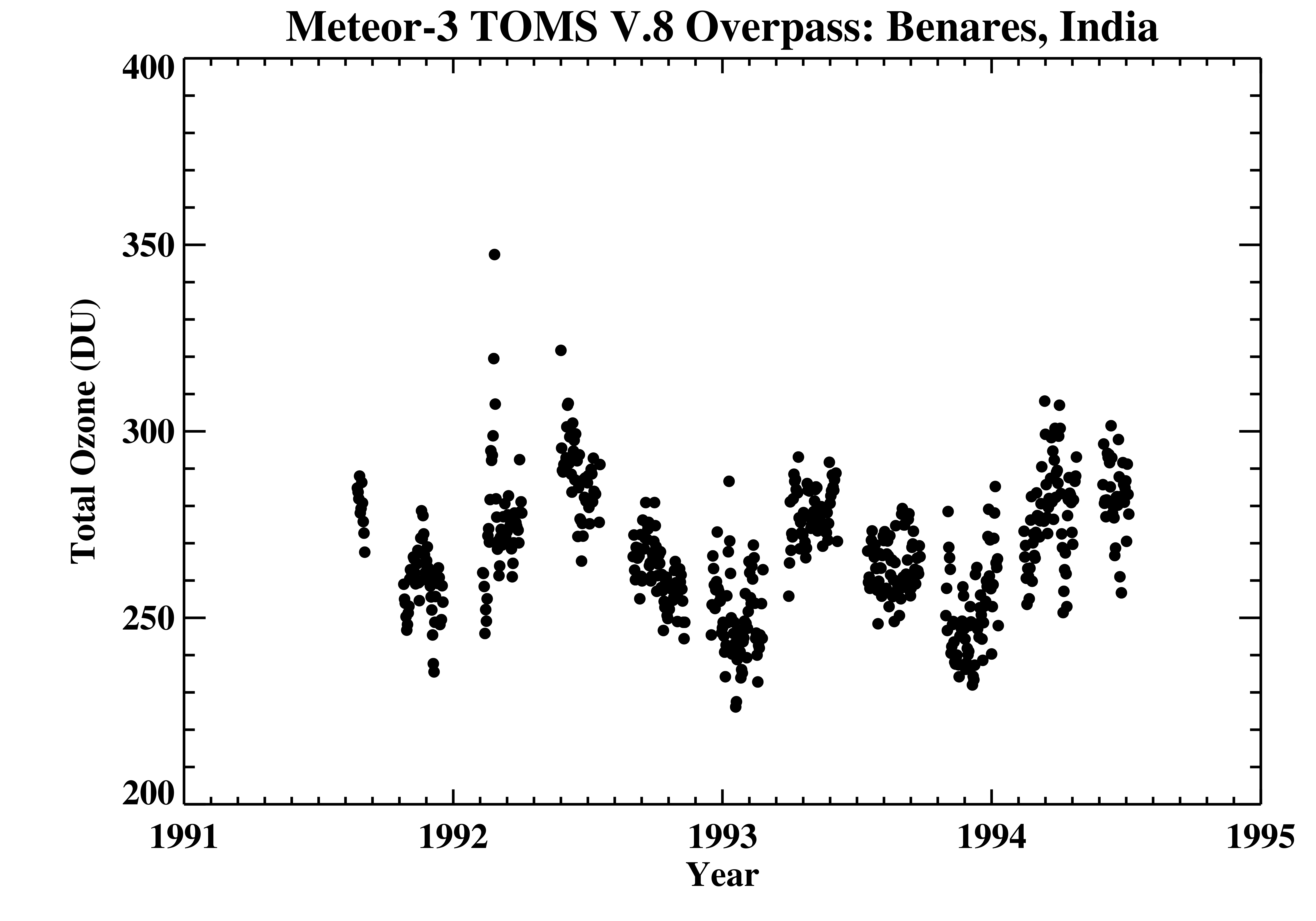
TOMS Meteor-3 Ground Station Overpass Data V008 (TOMSM3OVP) at GES DISC
National Aeronautics and Space Administration —
The Meteor-3 Total Ozone Mapping Spectrometer (TOMS) version 8 daily ground station overpass data product contains total column ozone, UV aerosol index, Lambertian... -
Federal
GPM GROUND VALIDATION NASA MICRO RAIN RADAR (MRR) MC3E V1
National Aeronautics and Space Administration —
The GPM Ground Validation NASA Micro Rain Radar (MRR) MC3E dataset was collected by a Micro Rain Radar (MRR), which is a vertically pointing Doppler radar which... -
Federal
DISCOVER-AQ Maryland Deployment Oldtown Ground Site Data
National Aeronautics and Space Administration —
DISCOVERAQ_Maryland_Ground_Oldtown_Data contains data collected at the Oldtown ground site during the Maryland (Baltimore-Washington) deployment of NASA's DISCOVER-AQ... -
Federal
CLAMS ER-2 Moderate Resolution Imaging Spectrometer (MODIS) Airborne Simulator (MAS)
National Aeronautics and Space Administration —
CLAMS_ER2_MAS data were collected during the Chesapeake Lighthouse and Aircraft Measurements for Satellites (CLAMS) experiment with the objective to combine long term...

Official websites use .gov
A
.gov website belongs to an official government
organization in the United States.
Secure .gov websites use HTTPS
A
lock (
) or https:// means you’ve safely connected to
the .gov website. Share sensitive information only on official,
secure websites.