
-
Federal
ASTER Global DEM NGDA 15 recent views
National Aeronautics and Space Administration —
ASTER is capable of collecting in-track stereo using nadir- and aft-looking near infrared cameras. Since 2001, these stereo pairs have been used to produce single-... -
Federal
ASTER Global Digital Elevation Model NetCDF V003 NGDA
National Aeronautics and Space Administration —
The ASTER Global Digital Elevation Model (GDEM) Version 3 (ASTGTM) provides a global digital elevation model (DEM) of land areas on Earth at a spatial resolution of 1... -
Federal
Shuttle Radar Topography Mission (SRTM) Images
National Aeronautics and Space Administration —
Culminating more than four years of processing data, NASA and the National Geospatial-Intelligence Agency (NGA) have completed Earth's most extensive global... -
Federal
ASTER Digital Elevation Model V003 NGDA
National Aeronautics and Space Administration —
The ASTER Digital Elevation Model (AST14DEM) product is generated (https://lpdaac.usgs.gov/documents/996/ASTER_Earthdata_Search_Order_Instructions.pdf) using bands 3N... -
Federal
SMEX04 Land Use Classification Data, Sonora, Version 1
National Aeronautics and Space Administration —
Notice to Data Users: The documentation for this data set was provided solely by the Principal Investigator(s) and was not further developed, thoroughly reviewed, or... -
Federal
SMAPVEX19-22 Millbrook Lidar Derived Digital Elevation Model V001
National Aeronautics and Space Administration —
These digital elevation model (DEM) data consist of ground surface elevations derived from source lidar measurements collected in April and August 2022 in the... -
Federal
Spaceborne Imaging Radar C-band (SIR-C)
National Aeronautics and Space Administration —
Spaceborne Imaging Radar-C (SIR-C) is part of an imaging radar system that was flown on board two Space Shuttle flights (9 - 20 April, 1994 and 30 September - 11... -
Federal
Aboveground Biomass Density for High Latitude Forests from ICESat-2, 2020
National Aeronautics and Space Administration —
This dataset provides estimates of Aboveground dry woody Biomass Density (AGBD) for high northern latitude forests at a 30-m spatial resolution. It is designed both... -
Federal
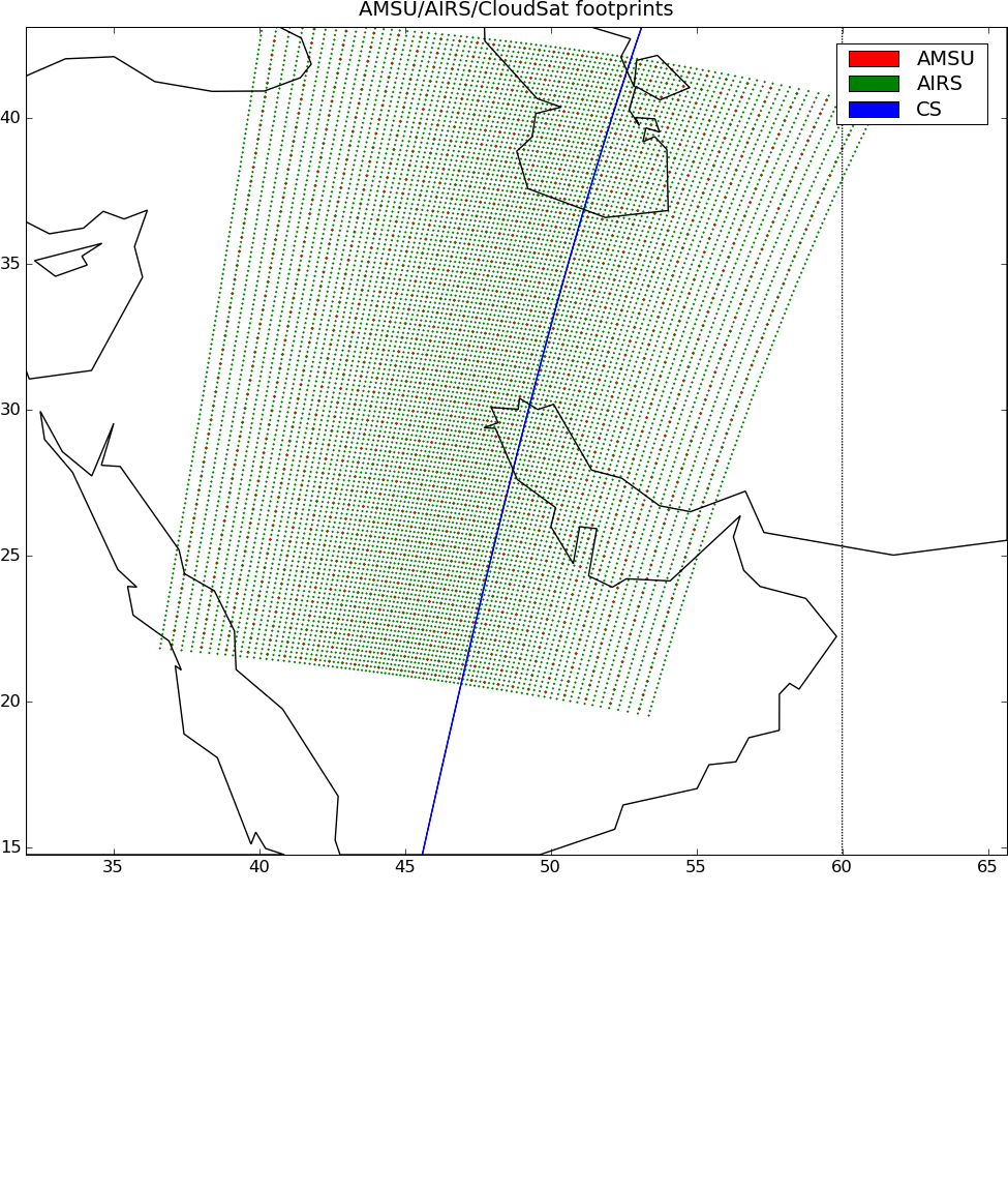
AIRS-CloudSat cloud mask, radar reflectivities, and cloud classification matchups V3.2 (AIRS_CPR_MAT) at GES DISC
National Aeronautics and Space Administration —
This is AIRS-CloudSat collocated subset, in NetCDF-4 format. These data contain collocated: AIRS Level 1b radiances spectra, CloudSat radar reflectivities, and MODIS... -
Federal
Interferometric Synthetic Aperture Radar (IFSAR) Alaska
National Aeronautics and Space Administration —
The U.S. Geological Survey (USGS) National Geospatial Program (NGP) developed the Alaska Mapping Initiative (AMI) to collaborate with the State and other Federal... -
Federal
ABoVE: Reflectance Spectra of Tundra Plant Communities across Northern Alaska
National Aeronautics and Space Administration —
This dataset reports full-spectrum (350-2500 nm) reflectance measurements of diverse plant communities at the plot-level and individual plant species at the leaf-... -
Federal
ASTER Global Water Bodies Database V001 NGDA
National Aeronautics and Space Administration —
The ASTER Global Water Bodies Database (ASTWBD) Version 1 data product provides global coverage of water bodies larger than 0.2 square kilometers at a spatial... -
Federal
Soil Moisture Active Passive (SMAP) L1-L3 Ancillary Static Data V001
National Aeronautics and Space Administration —
This ancillary SMAP product contains more than 50 data sets. These data sets contain the inputs necessary to create SMAP products from raw instrument counts, such as... -
Federal
LBA-ECO LC-15 SRTM30 Digital Elevation Model Data, Amazon Basin: 2000
National Aeronautics and Space Administration —
This dataset provides a subset of the SRTM30 Digital Elevation Model (DEM) elevation and standard deviation data for the Amazon Basin. SRTM30 is a near-global digital... -
Federal
NASADEM Merged DEM Global 1 arc second V001
National Aeronautics and Space Administration —
The Land Processes Distributed Active Archive Center (LP DAAC) is responsible for the archive and distribution of the NASA Making Earth System Data Records for Use in... -
Federal
SMAPVEX19-22 Massachusetts Lidar Derived Digital Elevation Model V001
National Aeronautics and Space Administration —
These digital elevation model (DEM) data consist of ground surface elevations derived from source lidar measurements collected in April and August 2022 in the... -
Federal
MESSENGER MERCURY MDIS LEVEL 5 DEM V1.0
National Aeronautics and Space Administration —
Abstract ======== The MESSENGER MDIS DEMs are derived products. A DEM is a gridded (raster) product that records elevation values of a given terrain in each pixel.... -
Federal
MEaSUREs Antarctic Boundaries for IPY 2007-2009 from Satellite Radar V002 NGDA
National Aeronautics and Space Administration —
This data set, part of the NASA Making Earth System Data Records for Use in Research Environments (MEaSUREs) program, provides maps of Antarctic ice shelves,... -
Federal
Hydrologic Sub-basins of Greenland, Version 1
National Aeronautics and Space Administration —
The Hydrologic Sub-basins of Greenland data set contains Geographic Information System (GIS) polygon shapefiles that include 293 hydrologic sub-basins of the... -
Federal
DS1 DIGITAL ELEVATION MAPS OF COMET 19P/BORRELLY V1.0
National Aeronautics and Space Administration —
This data set contains both the USGS and DLR versions of the digital elevation model of the surface areas of comet 19P/Borrelly 1 (1904 Y2) that were visible and...

Official websites use .gov
A
.gov website belongs to an official government
organization in the United States.
Secure .gov websites use HTTPS
A
lock (
) or https:// means you’ve safely connected to
the .gov website. Share sensitive information only on official,
secure websites.